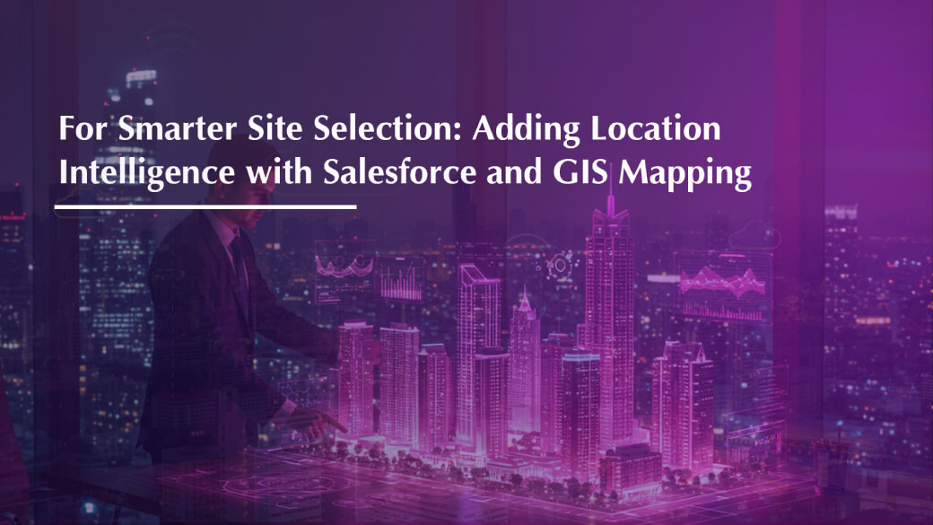
For Smarter Site Selection: Adding Location Intelligence with Salesforce and GIS Mapping
In real estate, location isn’t just important; it’s everything.
The right site can define a project’s success, while the wrong one can set it back years.
But as cities expand and data pours in from dozens of sources, site selection has become more complex than ever. That’s where Location Intelligence and GIS (Geographic Information System) Mapping, powered by Salesforce integration, transform how developers identify, evaluate, and select land.
Together, they make site selection smarter, faster, and completely data-driven.
What Is Location Intelligence in Real Estate?
Location Intelligence is the use of geographic data, demographics, connectivity, nearby infrastructure, amenities, and market trends to make better, evidence-based business decisions.
Instead of relying on assumptions or outdated reports, developers can visualize potential sites on interactive maps, comparing multiple data layers before making an investment.
When you connect this intelligence to Salesforce CRM, it becomes even more powerful. Salesforce doesn’t just store contact or lead data; it contextualizes it. With GIS mapping integrated, you can see:
- Which regions are generating the most leads
- Where conversions are highest
- Which areas show future development potential and ROI
It’s insight that moves beyond spreadsheets and gives your team a live, visual understanding of your market.
Why Integrate GIS Mapping with Salesforce?
Imagine you’re a developer planning your next project. Traditionally, you’d depend on reports, site visits, and local inputs to make your call.
Now, imagine doing it all from your Salesforce dashboard:
- A live, interactive map displays your ongoing projects, sales pipelines, and potential sites.
- You can overlay layers like population density, transport connectivity, and competitor presence.
- Real-time data highlights zones with the strongest buyer interest and highest lead conversions.
- The system even predicts emerging localities based on demand trends and infrastructure development.
In just a few clicks, you see not just where to build but why.
How This Helps Real Estate Businesses
1. Smarter Site Selection
Identify high-potential areas using data like customer demographics, income levels, and growth projections, not guesswork.
2. Sharper Sales & Marketing Strategy
Pinpoint where your leads are coming from and design hyper-local campaigns that boost ROI and reduce ad spend wastage.
3. Real-Time Decision-Making
Leadership can track new opportunities, project updates, or market movements directly from Salesforce dashboards.
4. Lower Risk, Higher Confidence
By visualizing factors like environmental risks, competitor density, and connectivity, teams can evaluate investment risks before breaking ground.
For Developers, Sales Teams & CXOs Alike
- Developers gain confidence in every land acquisition.
- Sales teams match the right projects with the right customers.
- CXOs turn complex market data into clear, actionable insights accessible anytime, anywhere.
The Future Is Data-Driven
When Salesforce and GIS mapping work together, decision-making moves from intuition to intelligence.
It’s not just about identifying land, it’s about identifying the right land, in the right place, at the right time.
Smarter maps. Sharper insights. Stronger decisions.
That’s the power of combining Location Intelligence with Salesforce.